


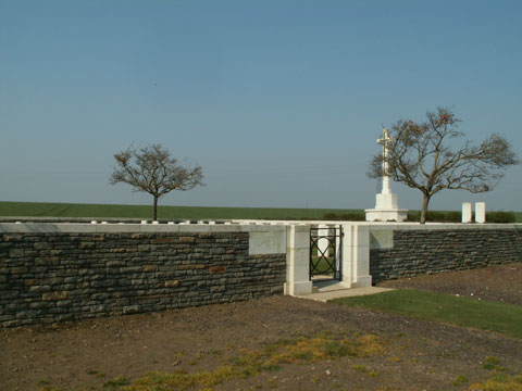
Houdain Lane Cemetery
Location
Houdain Lane Cemetery lies just west of Feuchy, a small village approximately 1.5 kilometres east of Arras. From Feuchy centre the cemetery is signposted along a track for 500 metres, followed by a more difficult track.
The final kilometre of this more difficult track that leads up to this cemetery is just about OK in dry weather with a great deal of care — but it becomes little more than a tractor rutted grass goat track.
Very definitely not for the faint-hearted or for those with a low vehicle.

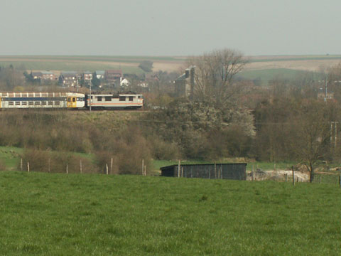
From here you get a good view of the 1917 battlefield and also a good idea as to the height of the railway embankment which caused some problems for the advancing British.
| GPS | N | E | OSM |
|---|---|---|---|
| Decimal | 50.287804 | 2.831361 | Map |
Historical Information
The village of Tilly-les-Mofflaines was taken by Commonwealth troops on 9th April 1917, but it was partly in German hands again from March to August 1918.
Houdain Lane was a trench in the area between Tilloy and Feuchy. The cemetery was made in April 1917 by units of the 12th (Eastern), 15th (Scottish) and 37th Divisions.
The cemetery contains 76 burials of the First World War.
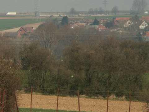
Point du Jour Cemetery opposite on the horizon

Feuchy Church on the left with Battery Valley and Orange Hill to the right
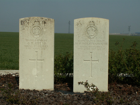
Aged 16
Son of Henry and Elizabeth Wolstenholme
of 32, Horder Rd, Fulham, London
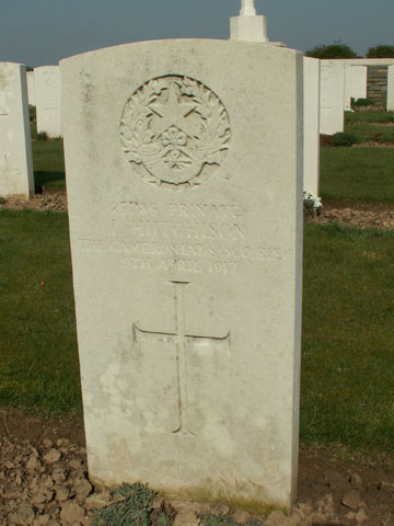
Private James Hutchison 25785
10th Bn The Cameronians
Scottish Rifles
Died on 9th April 1917
Grave: B 8